

iOS watchOS planned
Orak
Built for where the signal stops.
A walking companion in development, with route recording, offline-map preparation and an SOS screen. Offline behaviour, recording recovery and emergency use still require field validation; their reliability is not promised.
Project status: In development
Screens
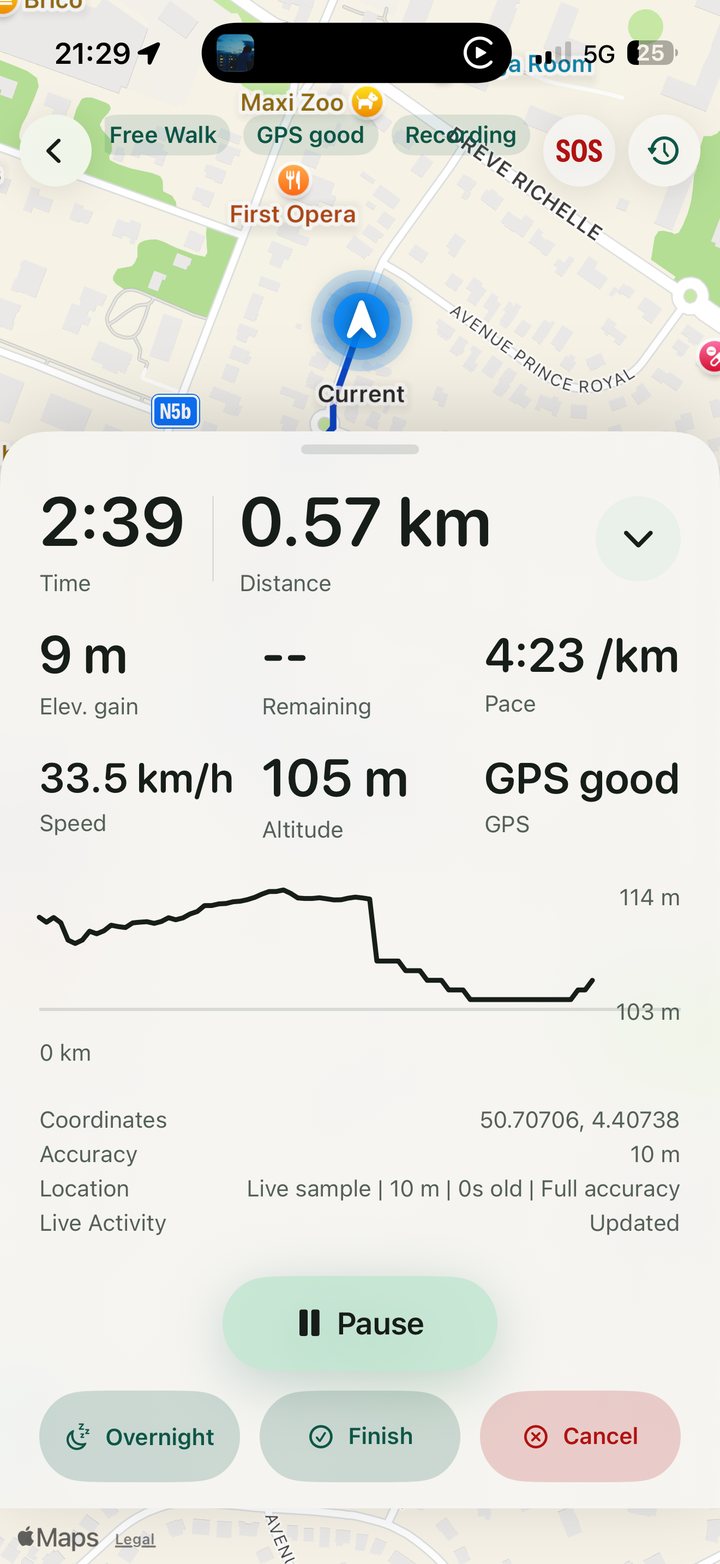
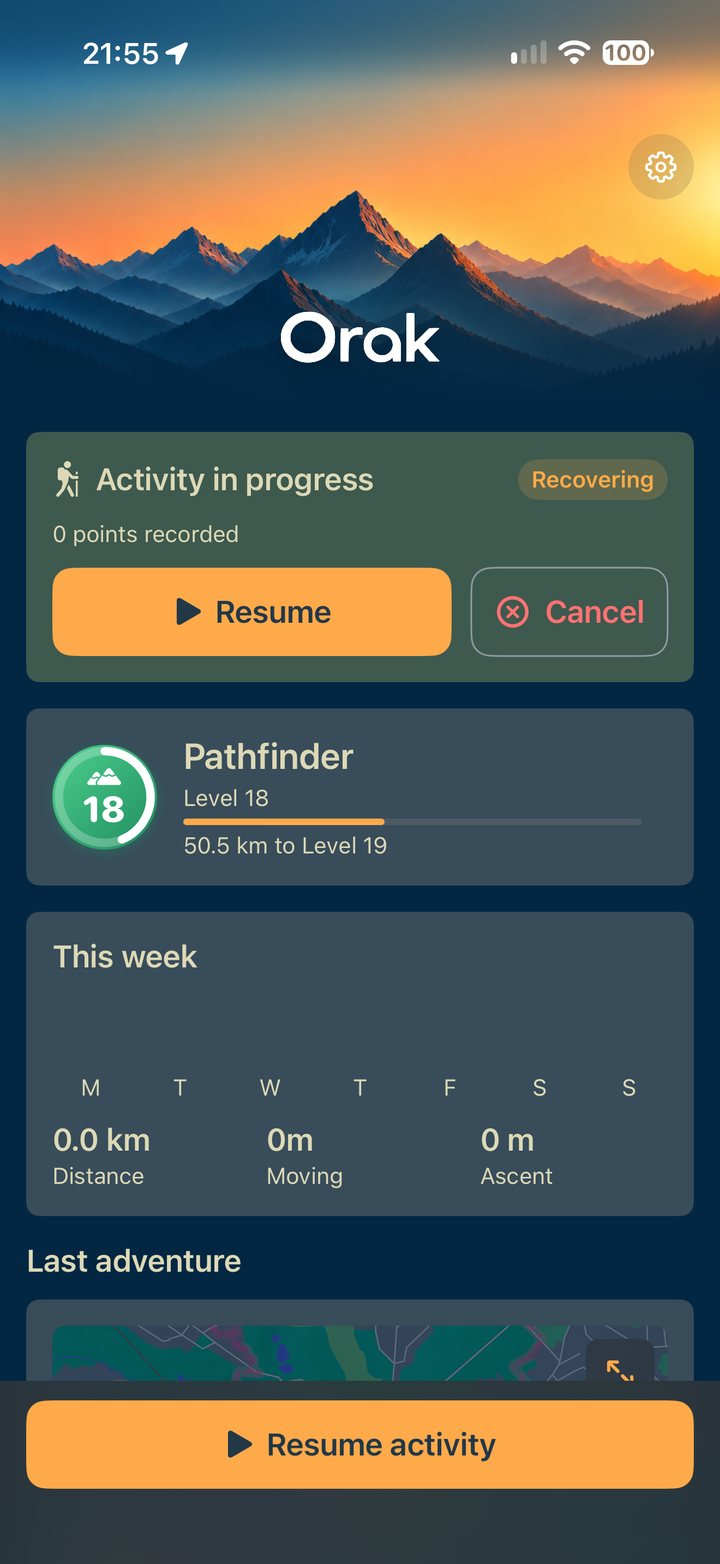
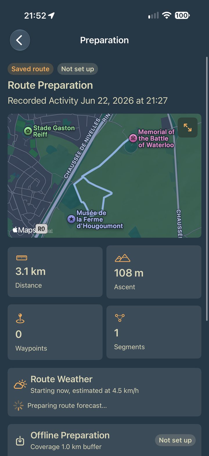
The parts that matter.
The map is already downloaded
Prepare a route and it takes the map with it, a kilometre either side of the line, so the walk does not depend on a signal that was never going to be there.
Weather along the route, not at the trailhead
The forecast is read against your own pace, so it says what the weather will be at the point you will have reached by then rather than what it is where you parked.
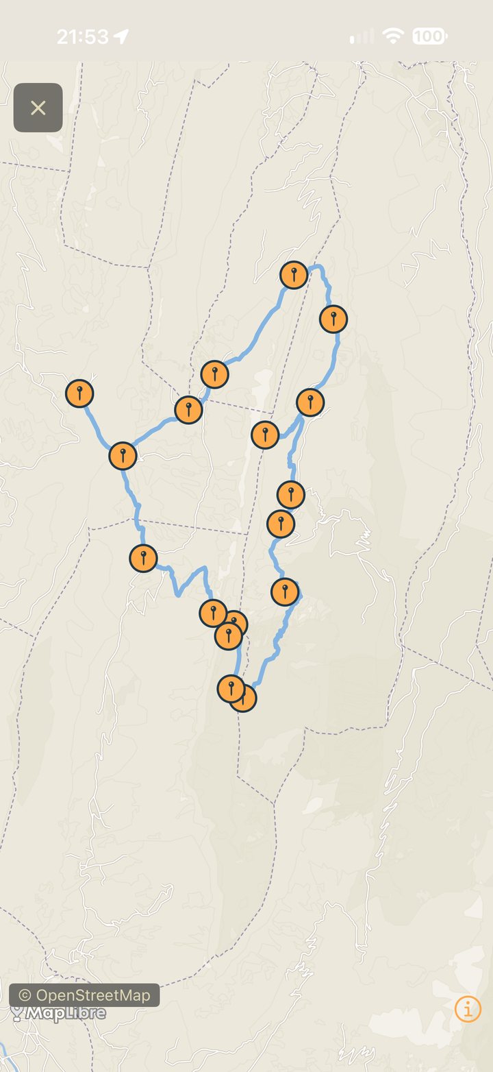
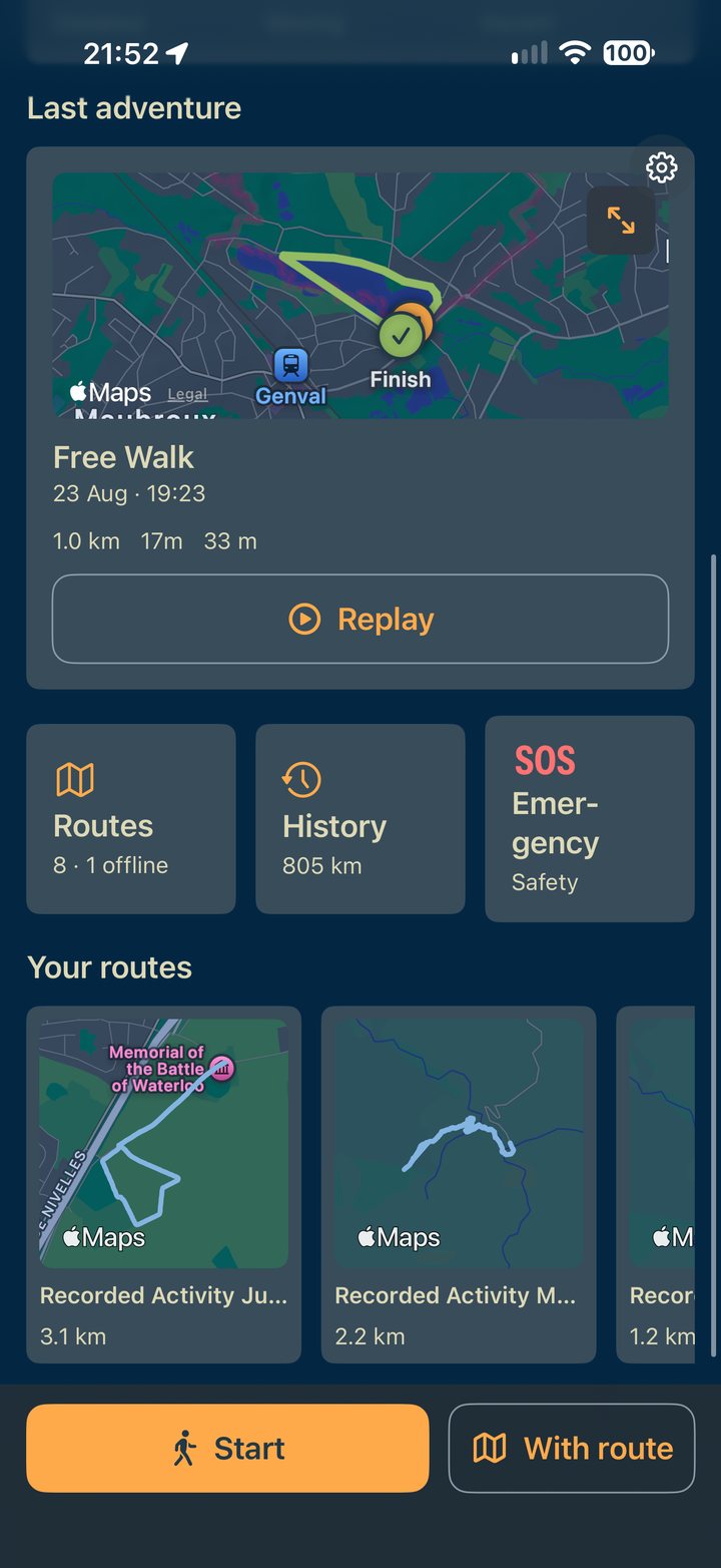
Every walk becomes a route
A recorded activity is saved as something you can walk again, hand to someone else, or start from. Distance, ascent, waypoints and segments are all counted from the track itself.
Recording recovery in development
An interrupted activity can be offered for resumption with the recorded track. Recovery after battery loss or process termination still needs field testing.
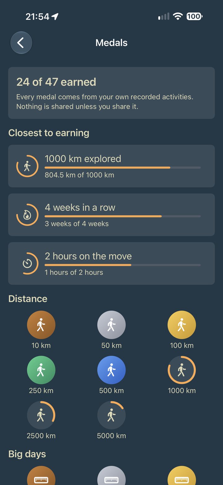
Medals from your own walking
Levels and medals earned from activities you actually recorded, and the app says so on the screen where it says it: nothing is shared unless you share it.
SOS on the home screen
The emergency route is one tap from the first screen rather than four taps into a menu, because the moment it is needed is not the moment to go looking for it.
Legal
Every application keeps its own privacy route, one click away.